
Import Local Dataset to a Project
-
In the FSQ Spatial Desktop interface, click + Add Data in the Data Sources panel.
-
In the Add Data dialog, select the Upload tab.
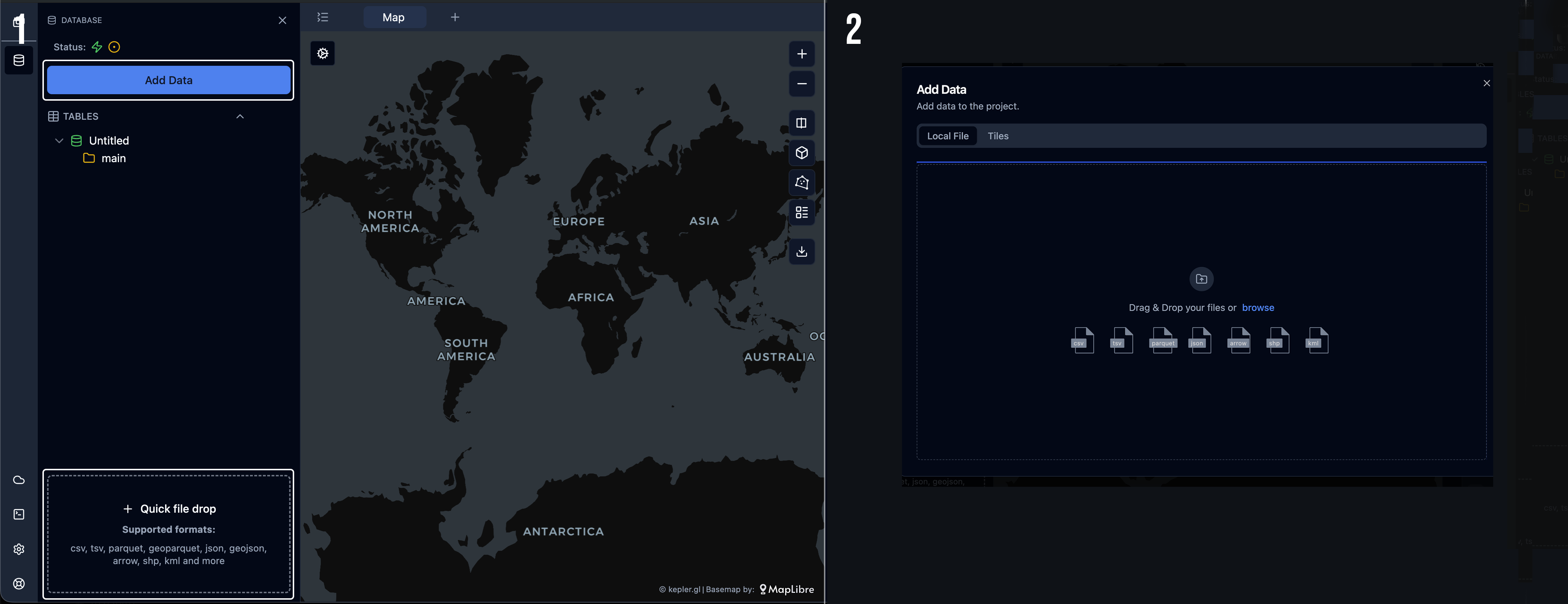
-
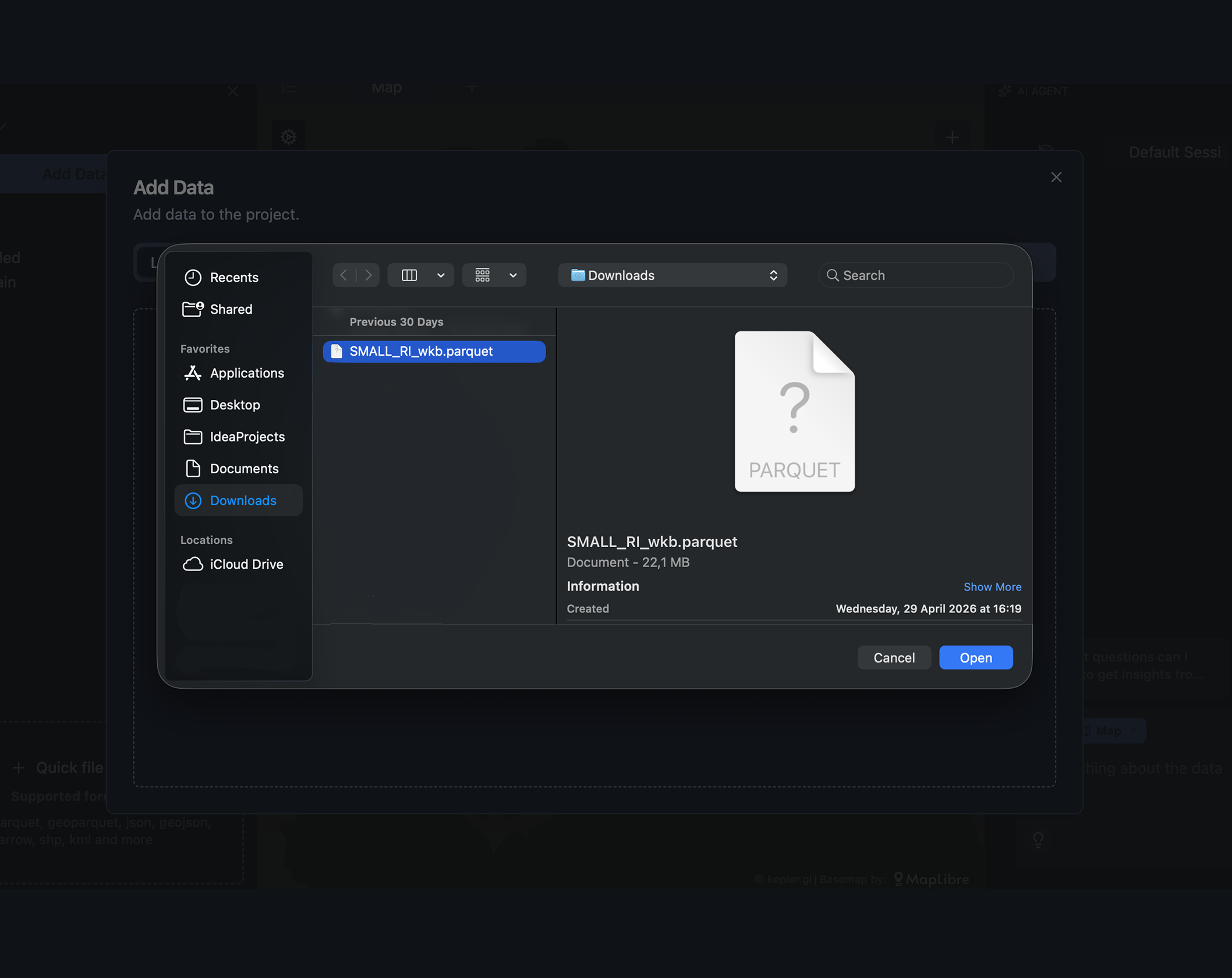
Click Add files and select your data file (for example download,
data.csv). -
Click Open to import the dataset.
Once imported:
- the dataset will appear as a layer on the map,
- and it will be listed under Tables in the Data Sources panel.
To configure a map layer, click the cogwheel icon next to the layer to open the map settings panel.
Updated about 10 hours ago
Did this page help you?