
Vector Layer
Vector layers use the three basic GIS features – lines, points, and polygons – to represent real-world features in digital format.
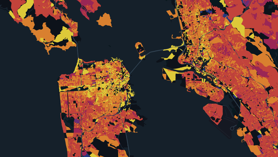
An example of the Vector Layer displaying polygons.
Settings
The follow sections detail every setting available in the Vector Layer.
Basic
Core settings for the Vector Layer.
| Setting | Description |
|---|---|
| Layer Type | Must be Vector Tile to use the Vector Layer. |
Fill Color
Settings related to the fill color of the vector data.
| Setting | Description |
|---|---|
| Color Based On | The field to base the fill color on. |
| Color Scale | The color scale and palette for the fill color. |
| Dynamic Color | Enable to estimate color range and scale based on data visible in the current viewport. When panning the map, the color scale will update dynamically. |
| Opacity | The opacity of the fill color. 100 = fully opaque, 0 = fully transparent. |
Stroke Color
Settings related to the stroke/outline color of the vector layer.
| Setting | Description |
|---|---|
| Stroke Color | Toggle to enable stroke. |
| Stroke Color Based On | A column to base the stroke color on. When enabled, a color scale can be selected. |
| Color | The color or color scale to use for the stroke. |
| Opacity | The opacity of the stroke. |
Stroke Width
Settings related to the stroke/outline width of the vector layer.
| Setting | Description |
|---|---|
| Stroke Width | Toggle to enable stroke. |
| Stroke Width Slider | Slide or enter a number to select the width of the stroke/outline in pixels. When "Stroke Based On" is selected, this becomes a range. |
| Stroke Based On | A column to base the stroke width on. |
| Stroke Scale | The method by which to scale the stroke/outline size. Choose between Linear, Sqrt, and Log. |
Height
Height settings for the vector layer. Height is best viewed with the 3D viewing mode.
| Setting | Description |
|---|---|
| Height Slider | Increase to raise the height of the layer objects. |
| Height Based On | A column to base the height off of. |
| Height Scale | Choose from linear, sqrt, and log. |
| Fixed Height | Applies height without additional modifications. |
JSON Schema
For details on how to programmatically specify layer properties, refer to the Layer Configuration specification.
Updated 6 months ago
Did this page help you?