Applications
Hex Tiles are Foursquare's analytical tile system, which lets you effortlessly process and perform advanced analysis on massive amounts of geospatial data. This page provides some examples of Hex Tile applications.

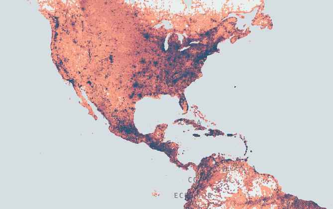
Continent-scale Hex Tile dataset data can contain hundreds of millions of rows of data.
Exploration
With Hex Tiles, you can smoothly explore vast spatiotemporal datasets previously inaccessible due to large file size, without having to create additional representations (such as raster or vector tiles) or querying data from databases. This is made possible by the system’s intelligent handling, partitioning, and tiling of datasets, while maintaining the desired degree of precision and data integrity.
Geospatial Unification
The Hex Tile System addresses the problem of unification of geospatial datasets with different structures (points, polygons, lines, zip codes, raster, etc) and converts them into Hex Tiles. The common H3 units dramatically simplifies any subsequent process of unifying diverse datasets while enabling efficient analytics and increased data enrichment.
Temporal Analytics
Hex Tiles are designed to support and encode both spatial and temporal data, enabling users to explore data over space and time.
Temporal data support, enabling smooth animations and visualizations while viewing spatial data over time.
Users no longer need to prepare the data for time analysis with a specific period in mind.
H3-based Analytics
Hex Tiles leverages the H3 grid, containing tiles composed of H3 cells with unique hierarchical IDs, which can be used as spatial unification keys. If you are already using H3-based analytics, Hex Tiles will fit right into and boost your existing work flow. If not, you will still benefit from being able to work effortlessly with large-scale analytic datasets.
Analytics
Unlike other tile systems, Hex Tiles is designed and optimized for data analysis. Its unique spatiotemporal analytic tile format allows data to be used in tabular form so that tiles can be filtered, clustered, and aggregated on the fly, and you can easily join and unify disparate data sources. Because joining two tiles does not require geographic operations, the computational cost of working with multiple Hex Tile datasets is minimized.
Machine Learning
Hex Tiles can also be used as features for machine learning models by providing a substrate for spatial data. Models can incorporate features from diverse spatial datasets, and apply additional weighting on top of that. Combined with the ability to explore data over space and time, this unique data representation is well-suited for machine learning applications.
Memory and Speed
Hex Tiles carry data in a flexible format that can handle a variety of data types efficiently. Data can be stored with high precision to facilitate accurate analytics, or in compact encoding to support large data ranges with fast operations.
Updated about 2 years ago
