Examples
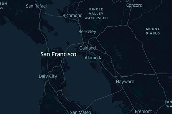
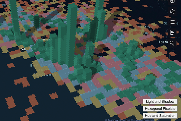
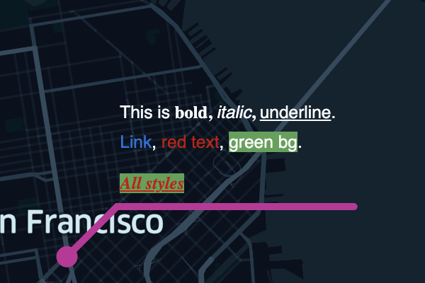
In this section, you'll find a number of examples that should help you get started with the Map SDK. JavaScript examples are served as an interactive development environment, while Python examples can be opened in several popular Jupyter Notebook services.
More examples on the way!We're working on improving our library of samples. Check back for more examples of the Map SDK in action!
Confused about how to achieve a use case via the Map SDK? Feel free to ask in our community Slack channel!
Updated 12 days ago


